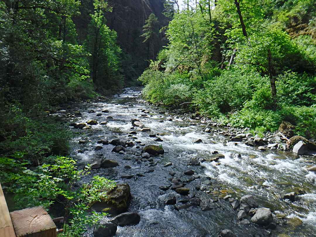
Hike from Timberline Lodge to Paradise Park

It is Fall hiking season and when you get a sunny day and some free time you have to go for a hike. My plan was to hike from Timberline Lodge on the PCT to Paradise Park trail then up to the Paradise Loop Trail over to Split Rock. From there I would hike a user trail up to a high canyon. When I got to Timberline Lodge I was surprise to find a light covering of snow on the top of Mt. Hood. I was starting out at sunrise and there were strong winds and near freezing temperature. I went to Climbers Hut to get out of the wind get my gear ready. I started out on a wind swept frozen trail, by the time I got to Zigzag Canyon the winds had died down on that side of the Hood. When I got to Zigzag creek I had to do a wet boot crossing. From there the up hill starts.

When I got to Paradise Loop trail I found the angle of the sun and fresh snow on Mt. Hood was a photographer’s dream. The rest of the way across Paradise Park and up the user trail made me wish I had brought my SLR to be able to get quality photographs of what I was seeing. I was disappointed that as I headed up the user trail that mountain start to form a cloud around it and block my view. After getting to the upper canyon rim I hit my turn around time and started heading back. I was happy to find on my return trip that Zigzag Creek broke the rules and water level was lower rather then higher. It made the creek crossing easy. As I finished my hike I lucked out the cloud on Hood went away and I was able to get some more good photos of the mountain.

Hike by the numbers according to my GPS: 14.65 miles, 3785 ft. total elev. gain with 9 1/2 hour on the trail.

Horseshoe Ridge Trail Loop Hike

Filling in one of the last trails on Zigzag Mt. ridge I did a hike of going up Horseshoe Ridge Trail, transversing on Zigzag Trail and connectors and going down on Cast Creek Trail. The hike was 15.5 miles with 3700 ft. total elevation gain and on the trail for 9.5 hours. At the start I had do a wading crossing of Lost Creek.

McNeil Point Hike – the long way

A hike up to McNeil Point starting at the Ramona Falls Parking lot. The purpose on this hike was both to get workout and I needed photos of the Sandy Glacier to see how much it had retreated. I have not done this route in many years so I was interested in what I might find. It was a lot longer and harder then I remembered.

The hike was hard but one of the most social hikes I have done. I talked to over 20 people and met a couple of new friends that I hiked the Bald Mt. to the climber route with on the way up. I also had the most embarrassing river crossing with a bear huge crawl on a log over the Sandy River.

By the numbers: about 20 miles with 4200 ft. total elevation gain and on trail for around 12 hours.