A walk along Vancouver Waterfront

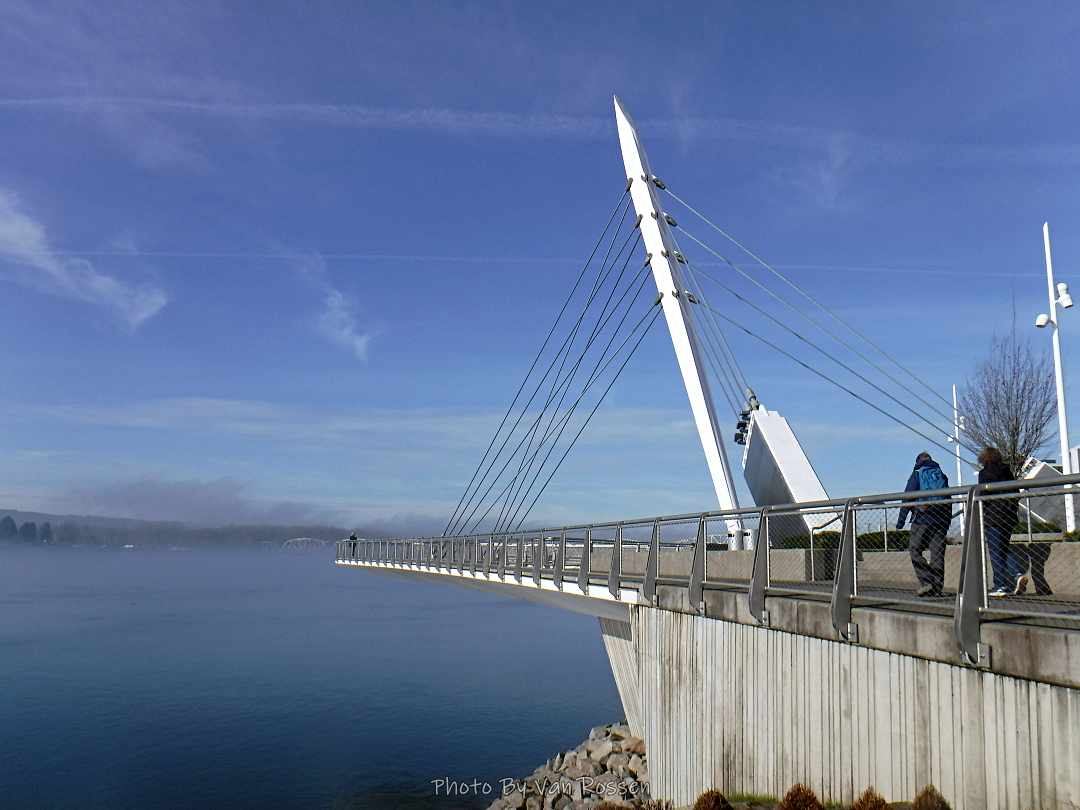
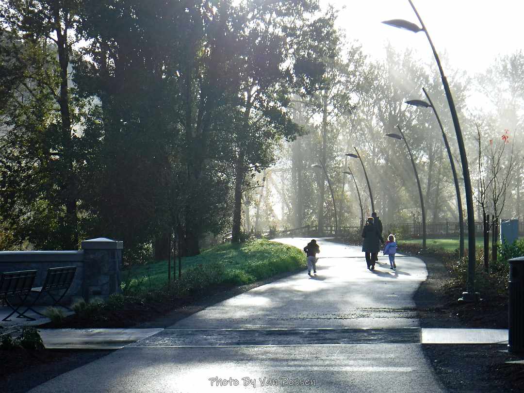
Lori, Jeanette, Sylvia and I did a walk along Vancouver Waterfront. Same route that we had often done before but the fog on the river gave it a different look. The walk was about 5 miles. Along the walk we stopped in at the Waterfront Taphouse for lunch.

Angles Rest to Devils Rest Hike

A solo Gorge hike to Angles Rest and then on to Devils Rest and back. This turned into a very chilly hike with cold temperatures some very strong wind gust. It was fun to find the new trails they have put in and I would like to go back and explore those more when the weather is better.

By the number: 9.5 miles, about 3000 ft. total elevation gain, 4 1/2 hours on the trail

Sandy River Greenway Scouting

After several days of rain we had a break in the weather so I took advantage of it to do some more scouting on the Sandy River Greenway Trail. There was a new section of trail added to it that now connects Troutdale to it and on to the 40 mile loop. The new trail runs through the new Sharon Nesbit Heritage Park and then joins the Ch’ak Ch’ak Trail. There a number of user trails that connect to the Ch’ak Ch’ak Trail and run down to the Sandy River. I spent most of my time checking these out. In all I got nine miles of walking in.

Nesmith Point Trail Hike

I attempted to hike to Nesmith Point but with bad trail condition did not make it. It was a really good conditioning hike but a rough trail to hike these days. Lot of loose rocks and over grown trail. Hike was 10 miles and 3000 ft. elevation gain.

Vancouver Waterfront Walk

I like doing my Sunday morning walks as it is a quit and unbusy time. This time I did one that was close to home and a familiar place at the Vancouver Waterfront. It has been interesting to see this area change and grow over the past several years. I did standard route of starting a Fort Vancouver and then doing a loop around the new development of the Vancouver Waterfront.