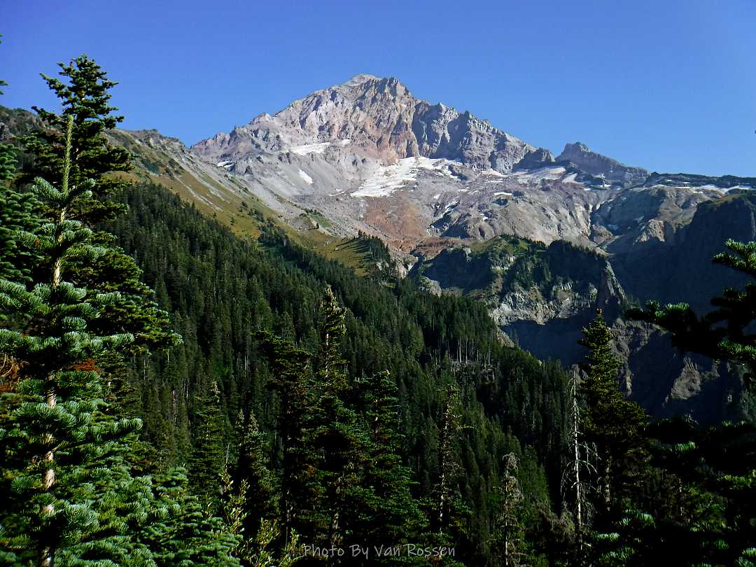
A hike up to McNeil Point starting at the Ramona Falls Parking lot. The purpose on this hike was both to get workout and I needed photos of the Sandy Glacier to see how much it had retreated. I have not done this route in many years so I was interested in what I might find. It was a lot longer and harder then I remembered.
The hike was hard but one of the most social hikes I have done. I talked to over 20 people and met a couple of new friends that I hiked the Bald Mt. to the climber route with on the way up. I also had the most embarrassing river crossing with a bear huge crawl on a log over the Sandy River.
By the numbers: about 20 miles with 4200 ft. total elevation gain and on trail for around 12 hours.