This was a hike up to Gnarl Ridge on Mt. Hood. I also went higher up to see a seasonal Tarn lake. It had been many years since I have been up there. I picked up a hiking buddy on trail who stayed with me until we parted company at the Timberline Trail, Gnarl Ridge trail junction. Only right at the end did she tell me she was a retired professor of geology from OSU. A missed opportunity.
The numbers: 12 miles, 3000 ft. total elevation gain, high point 7230 ft., time on trail 8 hrs. 45 min.
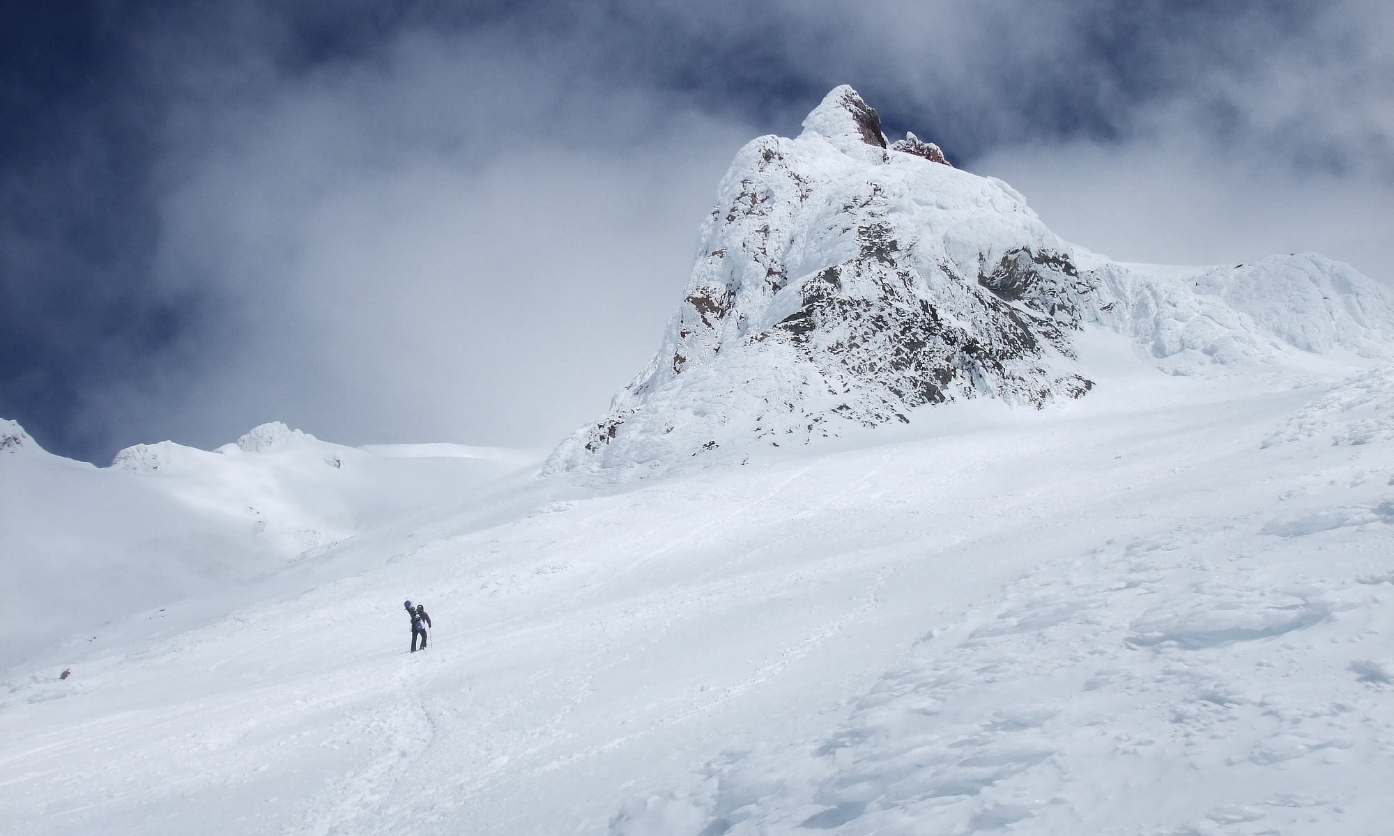
Starting at at the trailhead
Off into the woods
At Clark Creek you enter wilderness
Bridge over the Clark Creek
Huckleberry bushes lined the trail
A rocky section of the trail
An easy stream crossing on logs
Only place on Newton Creek to cross is a log
Proved to be a little challenging
Elk Meadow trail has some troubled sections
Looking over to Picnic Rock at Mt. Hood Meadows
A spring seep crossing the trail
A recovering forest
View of Mt. Hood from the trail
Turning onto Gnarl Ridge Trail
Gnarl Ridge Trail heading through the trees
Some bad blowdown along the trail
Junction with Timberline Trail
Dry steam in the summer
Nice mature sub-alpine forest
Open meadow area, flowers have gone to seed
Trail lead through mature forest
Some ghost trees still standing
Coming out of the forest into alpine eco.
Smoke blocked the view of Mt. Adams
Ten years after the Gnarl Ridge fire a slow recovery
Trail around Lamberson Butte
Remains of old CCC built stone hut
View of Mt. Hood at the start of Gnarl Ridge
Lamberson Butte and the Newton Creek Valley
View of Mt. Hood at the end of the ridge
A sparse alpine meadow along the Timberline Trail
Lupine still in bloom up here
Off trail to the top of the ridge
Fall colors are showing in this area
Dried up Mt. tarn on Mt. Hood
I did not have the energy to climb the next ridge
Looking North along the Timberline Trail
Looking back up the Timberline Trail while heading down
Looking over to Surveyor Ridge and smoke beyond
Heading back to Lamberson Butte
View of Mt. Hood from the Timberline Trail
This is what happens to a 4x4 Crain post after a few seasons
A hike from Timberline Lodge to Paradise Park. It was a sunny day that got hot in the afternoon. Haze from wildfire smoke blocked the views. Lots of wildflowers. Other hikers were nice. The numbers – 13 1/4 miles, 3250 Total elevation gain, 8 3/4 hours on the trail with 2 hrs of that talking to people and taking photos.
On the PCT but not going as far as Canada
Mt. Jefferson would be right there if not for the smoke
Mt. Hood in a haze of wildfire smoke
Nicest section on the whole trail
PussyPaws
The first recreation cabin on Mt. Hood
Only part of the Chimney is left
On the trail to Paradise Park
Little ZigZag canyon has gone dry
Lots of Lupin was out
Heading down to cross the Zigzag River
Example of trail damage
Trail crews put a lot of work in to fix the trail
Wet boot crossing on the ZigZag River
ZigZag River early morning
Once again I head up the Paradise Park Trail
Snow it gone and the flower are blooming
Lots of blooming flowers
False Hellebore and Sitka Valeriam
Lupin and Sitka Valerian
The landmark stump to let you are on route
Junction with Paradise Park Loop Trail
It had gotten smokier
Lost Creek Valley but no Mt. Hood
Lost Creek
A couple of young ladies work on sketches of flowers