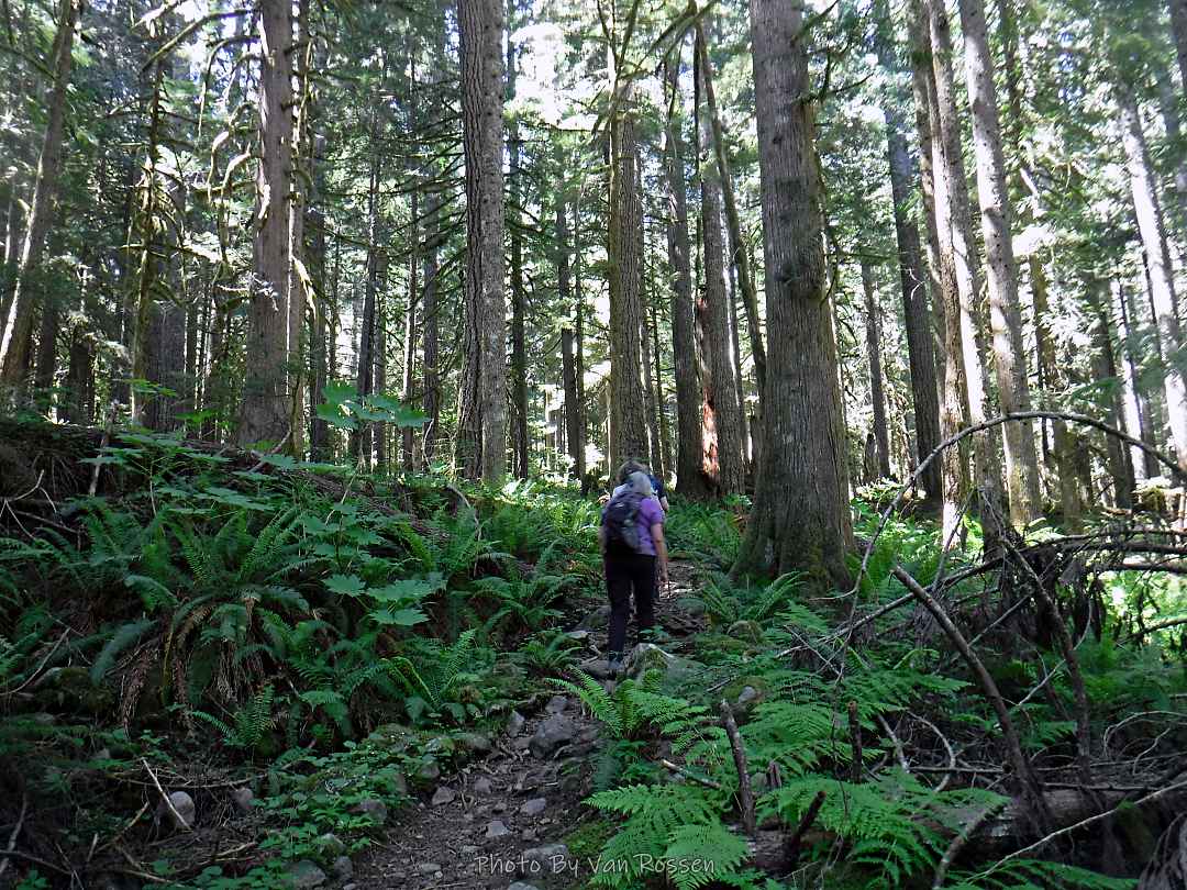
The Bonanza Trail in the Salmon-Huckleberry Wilderness was a popular trail to do 20 years but has fallen out of favor, maybe because of how hard it is or because it so hard to figure the trailhead parking. It was one I had not done before so this was an exploratory for me. This was an out and back hike and I would reach the point where I ended my Boulder Ridge hike. One of features this trail is known for is going past an old gold mine. Much of the trail shows no tools have been use on this trail in a long time. By the numbers – 14 miles, 3350 ft. elevation gain with 8 3/4 hours on trail.


Notes to myself
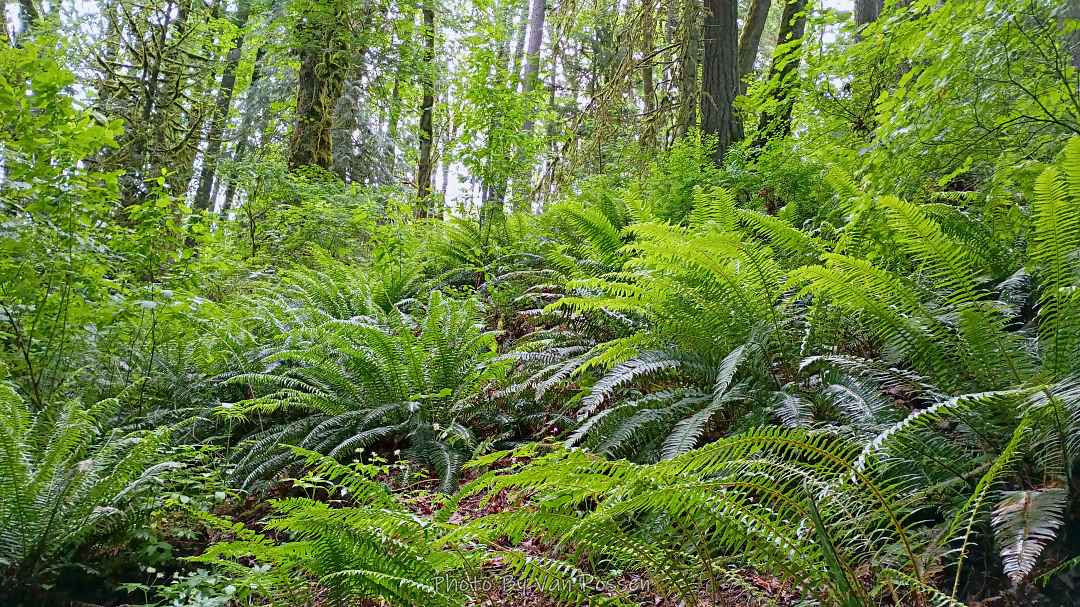
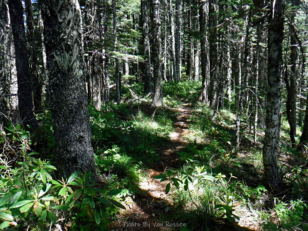
This was a hard hike for me and left me exhausted at the end. This trail concentrates all of the elevations gain in the last couple of miles. There were place steep enough I could use the mountaineer step. Brush along the trail at spot had taken over the trail trad left me sliding down the slop. The quarter mile going by the cascade area had a number of past slides and left rough user trails to get around spots. It was a real thigh burner on the down hill. There were a number of logs down along the trail that slowed one down but were not hike stoppers. During the rainy season with all of the creek that cross this trail could be a problem.
There is no formal parking area so it is comfusing where it is legal to park. There are four spot to park if you do not block the gate, if you block the gate there are to more. There are no spot along the road getting to the trail head.