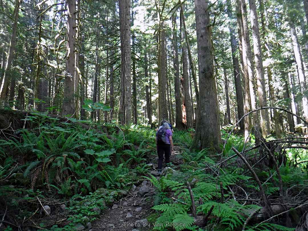
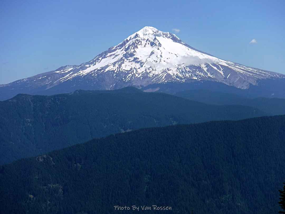
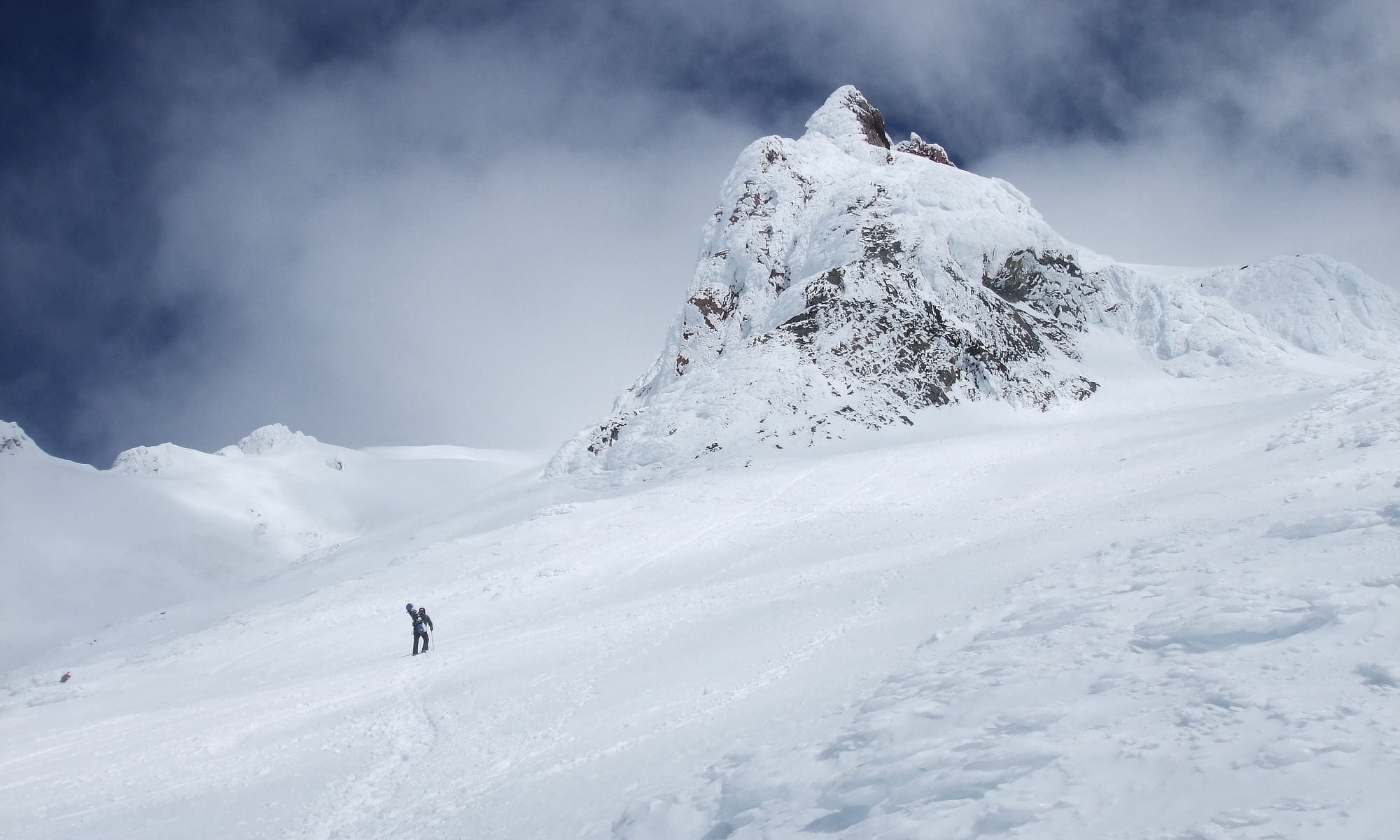
I did a hike at Mt. Hood Meadows and took my SLR along.
By the numbers: 8.5 Miles, 1650 ft. elev. gain with 4 1/2 hours moving time and 2 1/2 hours photographing.
Treks and Adventures
I was out this time Lori, Jeanette and Sylvia for an easy 5 mile hike along the Old Salmon River Trail in Mt. Hood National Forest. This trail is one of our favorites with easy access to a scenic river and old growth forest. It is an easy trail to hike and well maintained. After the hike we went to Scooter’s for lunch.
For this hike I had to hike up Burnt Lake Trail to where it meets ZigZag Mtn. Trail and go East on it to where it meets Paradise Park Trail. I had to pass through a lot of brushed over trail that was very wet from a morning dew and I got soaked. Most of this trail goes through huckleberry fields that look like they were once tended by the indigenes population but now are being over grown by new trees.
By the numbers: 17 Miles, 3700 ft. total elevation gain and on the trail for 11 hours. Most of this hike was done at an elevation between 4000 ft. to 5000 ft.
Notes: Breaking through overgrown trails slows you down a lot. It is also less safe as you do not know where you are stepping and you hit rocks or sticks that will trip you. This is the first time when hiking that I did a full face plant as a stick on the trail tripped me and thick brush kept me from getting poles forward to catch me.
There are many clues that in the past this trail got a lot more use then now. The trail tread is very compacted with steep sides. I have found several camp sites and warn view point that have not been used in many years.
An exploratory walk of the Westside Regional Trail. I was surprise to find that this trail was like a rollercoaster with climbing over several ridges and one Mt. Williams. All that other West side regional trails are flat. Mt. Williams is an area still under development but holds nice potential for a nature area with trails. I started may walks at Murry Scholls Town Center and went to trails end at SW Blanton Street.
By the numbers: About 9.3 miles with 1200 ft. total elevation gain and on the trail for 4 hours.
Before the Forest Service decommissioned that road and made this longer and greater elevation hike, it was a very popular and one I had never done. So for me this was a new trail to explore. For the first mile the trail follows the old road bed be has been well wilded. Then you go off on the old trail and follow that to the summit. It is mostly a gradual every climbing trail with a few steep switch back thrown in. It is a walk in the woods but going up hill. I was about two weeks late for best part of the flower show but there were a few still lingering around. The summit where a fire lookout once stood would have had a great 360 view except the trees have grown up block part of it. The trail was mostly in good shape which was nice.
By the numbers: about 13 1/2 miles, 3150 ft. elevation gain, about 8 hrs. on trail