I got out for a short hike with Lori, Jeanette and Sylvia on the Still Creek Trail. This Trail is a nice walk in the woods. We had sunny, warm weather. After our hike we went to Smoky Hearth for lunch.


Treks and Adventures
I got out for a short hike with Lori, Jeanette and Sylvia on the Still Creek Trail. This Trail is a nice walk in the woods. We had sunny, warm weather. After our hike we went to Smoky Hearth for lunch.
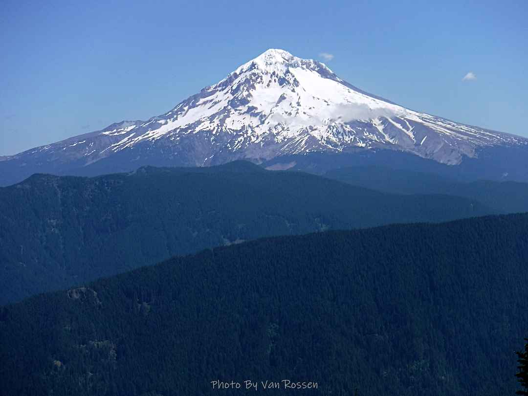
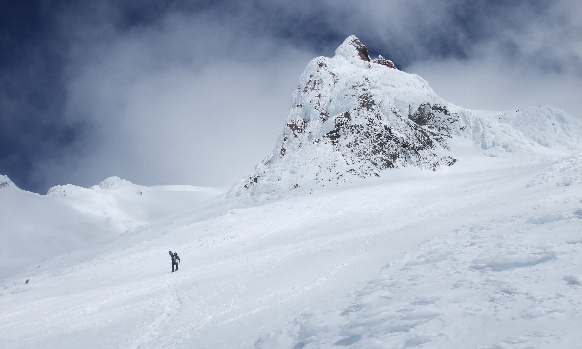
I was out this time for a longer and higher hike then I had done for a while. This hike started at Wildwood Recreation Site. I signed in and made my over the the start of the trail witch is a long walk in the woods. The first couple of hundred feet can be the hardest part of the the having to get over the wet slippery rocks. After that I started on a series of steep switch backs to get up to the start of the ridge. From here it is a steady moderate climb up to meet that Plaza Trail. I took that trail up to a great view point of Mt. Hood, the summit of Huckleberry Mt. and to Bonanza Tr. This was my turn around point to make my way back. I did about 14.5 mile with 3450 ft. elevation gain in 7 1/2 hours.


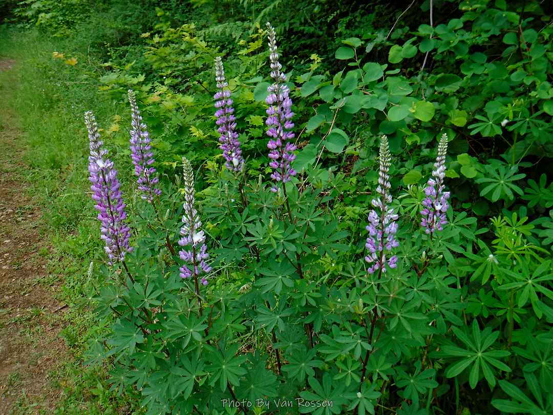
I did the Hardy Ridge Trail to see how the flowers were and get some exercise. I am glad I went for the flowers as the ridge was clouded over so no view today. I am finding it interesting how the flower go through their cycle so much slower then in sub-alpine meadows on Mt. Hood. The hike was about 9.5 miles with 2300 ft. elevation gain and on the trail for 4 1/2 hours.


Lori, Jeanette and I did a short hike at Stub Stewart State Park. The place was in full greenery. It was a lovely walk in the woods. We did about 5 miles with 750 elevation gain in 3 hours. Afterward we went to Helvetia Tavern for lunch.


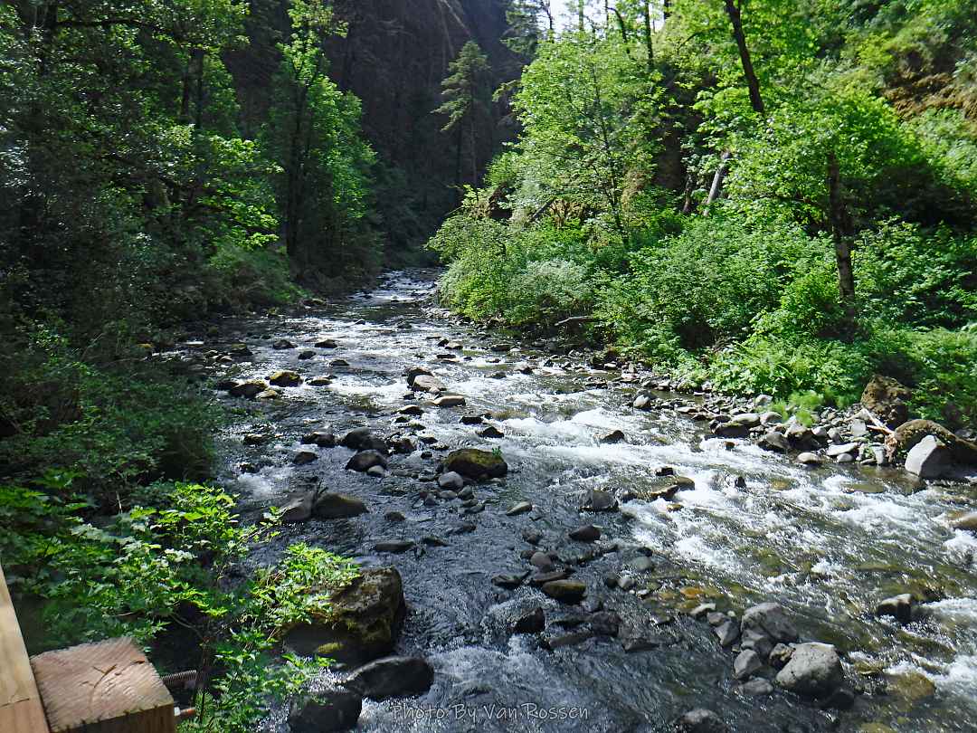
The Lori, Jeanette, Sylvia and I did a hike to see Wahclellah Falls. The trail recently reopened after some extensive work was done on it. This is a short hike with a lot of scenic beauty for your effort. Having to park in the upper parking lot added some mileage to our hike so we were at a little over 5 miles, over 500 ft. total elevation gain in two hours.


