I was out this time for a longer and higher hike then I had done for a while. This hike started at Wildwood Recreation Site. I signed in and made my over the the start of the trail witch is a long walk in the woods. The first couple of hundred feet can be the hardest part of the the having to get over the wet slippery rocks. After that I started on a series of steep switch backs to get up to the start of the ridge. From here it is a steady moderate climb up to meet that Plaza Trail. I took that trail up to a great view point of Mt. Hood, the summit of Huckleberry Mt. and to Bonanza Tr. This was my turn around point to make my way back. I did about 14.5 mile with 3450 ft. elevation gain in 7 1/2 hours.
Oak Ridge Trail Hike
Hardy Ridge Hike
I got my new Washington Discovery Pass so I decided to put it to use with a hike up to Hardy Ridge at Beacon Rock State Park. The forecast was for a nice clear sunny day and I needed to get some exercise so more reason for hike. I went up the East side trail and went to Phlox Point. Returned the same route. This may have been the first time this year to have clear views of Gorge and Mountains. I was surprised when I pulled into the parking lot at the Equestrian Trailhead and found the lot almost full. Turned out at WTA was having a workday and had a good turnout of volunteers. Just a few people on the hiking trails.
By the number: 10 miles, 2341 TEG, Time on trail – 4:51 moving, 1:15 stop and 2.1 moving average.
Hike from Timberline Lodge to Paradise Park
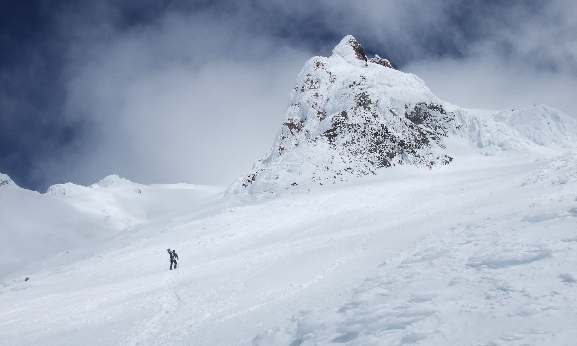
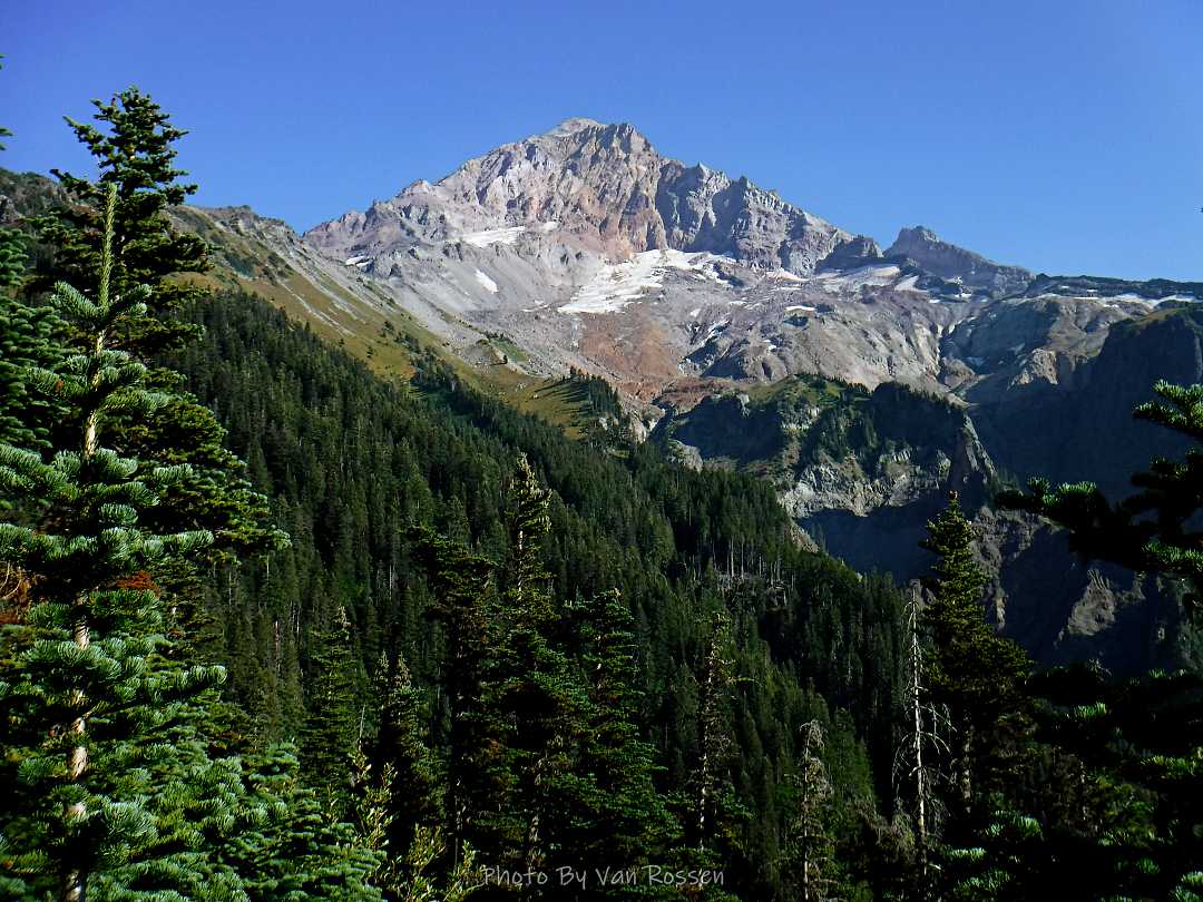
It is Fall hiking season and when you get a sunny day and some free time you have to go for a hike. My plan was to hike from Timberline Lodge on the PCT to Paradise Park trail then up to the Paradise Loop Trail over to Split Rock. From there I would hike a user trail up to a high canyon. When I got to Timberline Lodge I was surprise to find a light covering of snow on the top of Mt. Hood. I was starting out at sunrise and there were strong winds and near freezing temperature. I went to Climbers Hut to get out of the wind get my gear ready. I started out on a wind swept frozen trail, by the time I got to Zigzag Canyon the winds had died down on that side of the Hood. When I got to Zigzag creek I had to do a wet boot crossing. From there the up hill starts.
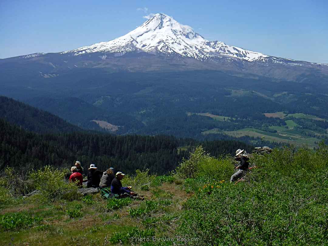
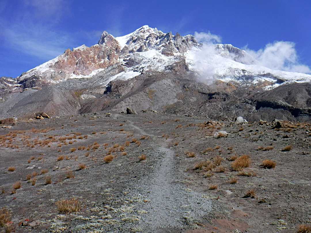
When I got to Paradise Loop trail I found the angle of the sun and fresh snow on Mt. Hood was a photographer’s dream. The rest of the way across Paradise Park and up the user trail made me wish I had brought my SLR to be able to get quality photographs of what I was seeing. I was disappointed that as I headed up the user trail that mountain start to form a cloud around it and block my view. After getting to the upper canyon rim I hit my turn around time and started heading back. I was happy to find on my return trip that Zigzag Creek broke the rules and water level was lower rather then higher. It made the creek crossing easy. As I finished my hike I lucked out the cloud on Hood went away and I was able to get some more good photos of the mountain.
Hike by the numbers according to my GPS: 14.65 miles, 3785 ft. total elev. gain with 9 1/2 hour on the trail.
McNeil Point Hike – the long way
A hike up to McNeil Point starting at the Ramona Falls Parking lot. The purpose on this hike was both to get workout and I needed photos of the Sandy Glacier to see how much it had retreated. I have not done this route in many years so I was interested in what I might find. It was a lot longer and harder then I remembered.
The hike was hard but one of the most social hikes I have done. I talked to over 20 people and met a couple of new friends that I hiked the Bald Mt. to the climber route with on the way up. I also had the most embarrassing river crossing with a bear huge crawl on a log over the Sandy River.
By the numbers: about 20 miles with 4200 ft. total elevation gain and on trail for around 12 hours.


