Sandy River Greenway Scouting

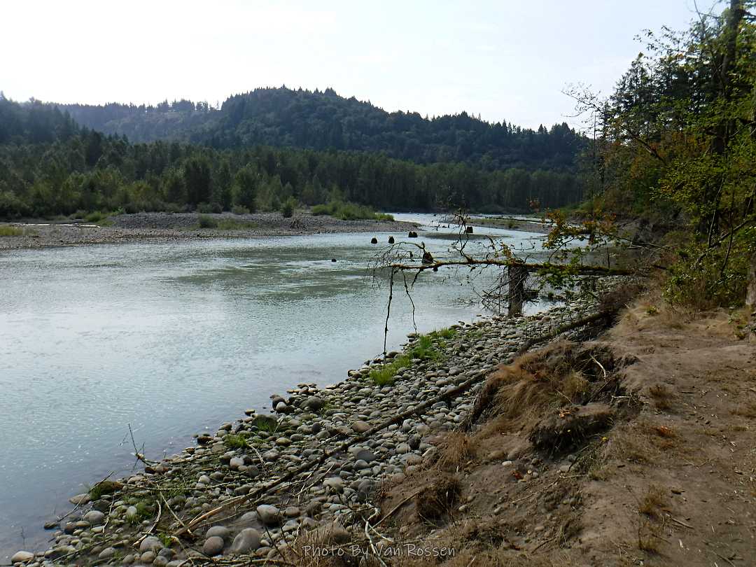
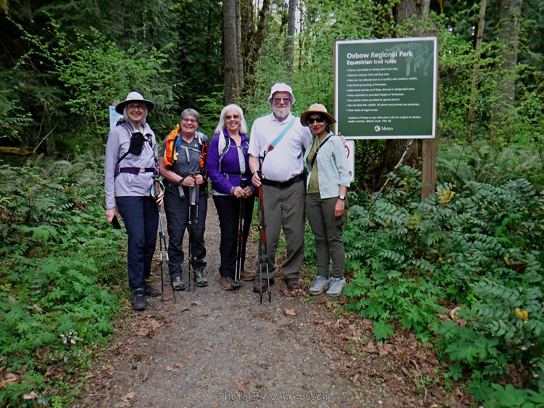
After several days of rain we had a break in the weather so I took advantage of it to do some more scouting on the Sandy River Greenway Trail. There was a new section of trail added to it that now connects Troutdale to it and on to the 40 mile loop. The new trail runs through the new Sharon Nesbit Heritage Park and then joins the Ch’ak Ch’ak Trail. There a number of user trails that connect to the Ch’ak Ch’ak Trail and run down to the Sandy River. I spent most of my time checking these out. In all I got nine miles of walking in.

McNeil Point Hike – the long way

A hike up to McNeil Point starting at the Ramona Falls Parking lot. The purpose on this hike was both to get workout and I needed photos of the Sandy Glacier to see how much it had retreated. I have not done this route in many years so I was interested in what I might find. It was a lot longer and harder then I remembered.

The hike was hard but one of the most social hikes I have done. I talked to over 20 people and met a couple of new friends that I hiked the Bald Mt. to the climber route with on the way up. I also had the most embarrassing river crossing with a bear huge crawl on a log over the Sandy River.

By the numbers: about 20 miles with 4200 ft. total elevation gain and on trail for around 12 hours.

Exploring the Ch’ak Ch’ak Trail

I found this trail on a map several months ago and got time to check it out. They are doing a formal opening of the Ch’ak Ch’ak Trail next month but is was finished in June. It is a bike and pedestrian in the Troutdale industrial area and is on top the dike along the Sandy River. I did an 8.25 mile out and back and had Chinook Landing Marine Park as my turn around spot.