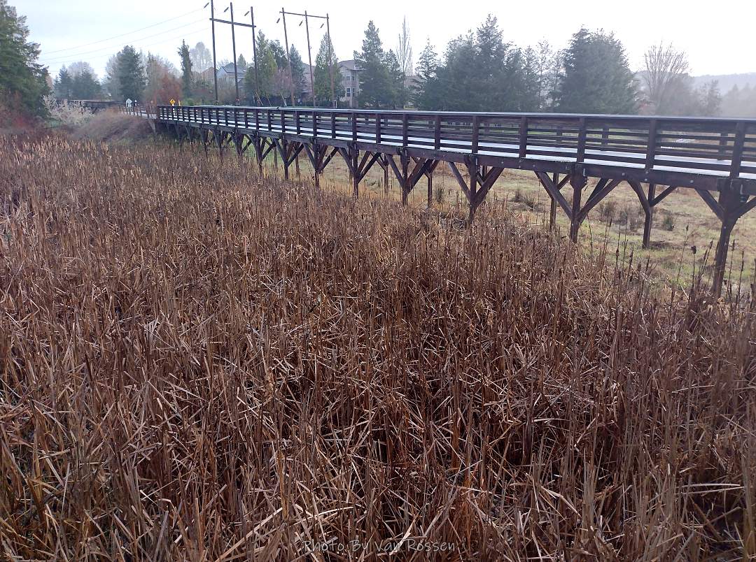
A scouting walk of the Westside Regional Trail North. I did several side trips off the main trail and end up with about six miles.

I began may walk at Hanson Ridge Park

The short connector trail leads to a raise trail over a wetland

A nice size active wetland that the trails cross over

Westside trail bridge heading North

Beginning heading north on the Westside Trail

Another short bridge on the trail

A formal sign saying I am at Westside Linear Park

Most of the trail is asphalt under powerlines

Westside trail stretching North

Sign at the junction

My map has this as Westside but the sign had it as Yoshihara

City folks being warned they may see farm land

Vary Large water tanks

Green farmland still here for now

This is the Urban Growth boundary

Last stretch of trail

One of several playgrounds that are by the trail

A few spots of flooded trail to work around

A gravel road continues on but it is private

A short way from the trail new suburbs are coming

Start of my journey back

First side trip on my way back was Kaiser Woods Natural Area

Recovering Forest Vegetation

A gravel trail rings the area

Found roots of several large tree that were blown down

A small grove of cedar and doug fir

A different nurse log story

A small fort in the woods

The that exits of natural area

A small drainage creek was full

A greenway next to the creek

I took the Rock Creek Regional Trail trail to its end

Rock Creek trail after the trail junction

End of Rock Creek Trail

Flooded wetland at the end of the trail

I did some road walking to find a point of interest

Quarry Woods and its pond

Found a couple of folks doing survey work looking for egg masses

A small pond where a quarry once was

Gravel trail around the pond

View from the other side of the trail

Back at Westside trail and heading south

Back at the bridge over the wetland

Nice picnic area at Jenson Ridge park